Field photos: "Do’s" and "Don’ts"…
/When collecting samples for luminescence dating in the field, it’s crucial to obtain informative photos of your sample site, whether or not they are included in your final publication. These help document the stratigraphic position of your samples, as well as the landforms and sedimentary units they were collected from. After several years of critiquing students, we’ve compiled a list of “Do’s” and “Don’ts” for good quality photos.
DON’T focus all of your photos on the sample tube hole.

This will provide very limited information. Be sure to back up and include photos of the entire exposure where possible, so that the stratigraphic location of the luminescence sample can be assessed. Typically these photos are taken alongside detailed notes on the sedimentology, stratigraphy, and any associated archaeology at the site.

DON’T estimate luminescence sample depths or stratigraphic unit thicknesses from photos.
This information should be measured and recorded using the proper equipment (measuring tape and/or inclinometer) in the field. Photos from tall/deep exposures will be distorted, especially if they are taken at close range.
DO take photos when the sun is oriented favorably.

Capturing effective images may mean waiting until the best time of day to avoid casting shadows that block the view.
DO clean your sedimentary exposure before taking the picture.

(LEFT) Before section cleaning. (RIGHT) After section cleaning.
This includes removing any slopewash or dust from the surface, as well as smoothing the surface flat so that sedimentary structures are most visible. It is also common practice to take photos of the cleaned exposure prior to sampling, so that the sample hole does not mask the stratigraphy.
DO use panoramas to capture the entire sedimentary section.

If your camera does not have a panorama function, individual, overlapping photos can be stitched together to create a panorama in graphic software, such as Photoshop. Some image distortion is inevitable in panoramas, so state whether or not this has been corrected for in your figure caption.
DON’T assume the photo will capture all of the details.

Take thorough notes in the field, and for more complicated exposures, draw section diagrams to capture all of the details. You can then use this info to annotate your photos later.
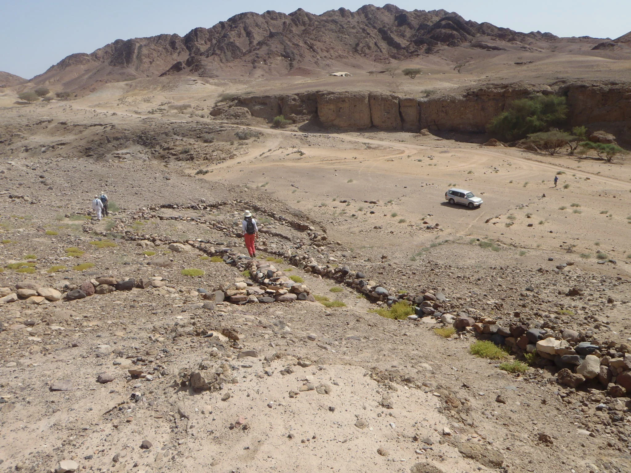
DO take photos of the surrounding landscape.

Sampling fluvial silts and sands deposited by ancestral Son River, in the Son Valley, Madhya Pradesh, India.

Sampling unsorted colluvial deposits comprised of weathered shale derived from local bedrock, Son Valley, Madhya Pradesh, India.
These will help document the geomorphic context of your sample site, as well as the surficial processes operating at the site today. Modern-day fluvial, colluvial, eolian or other surficial processes may explain some or all of the sedimentary units you observe in your sedimentary exposure.

Sampling waterlogged sands preserving paleosols in a bog on Calvert Island, British Columbia, Canada.

Sampling beach sands containing peat on Calvert Island, British Columbia, Canada.
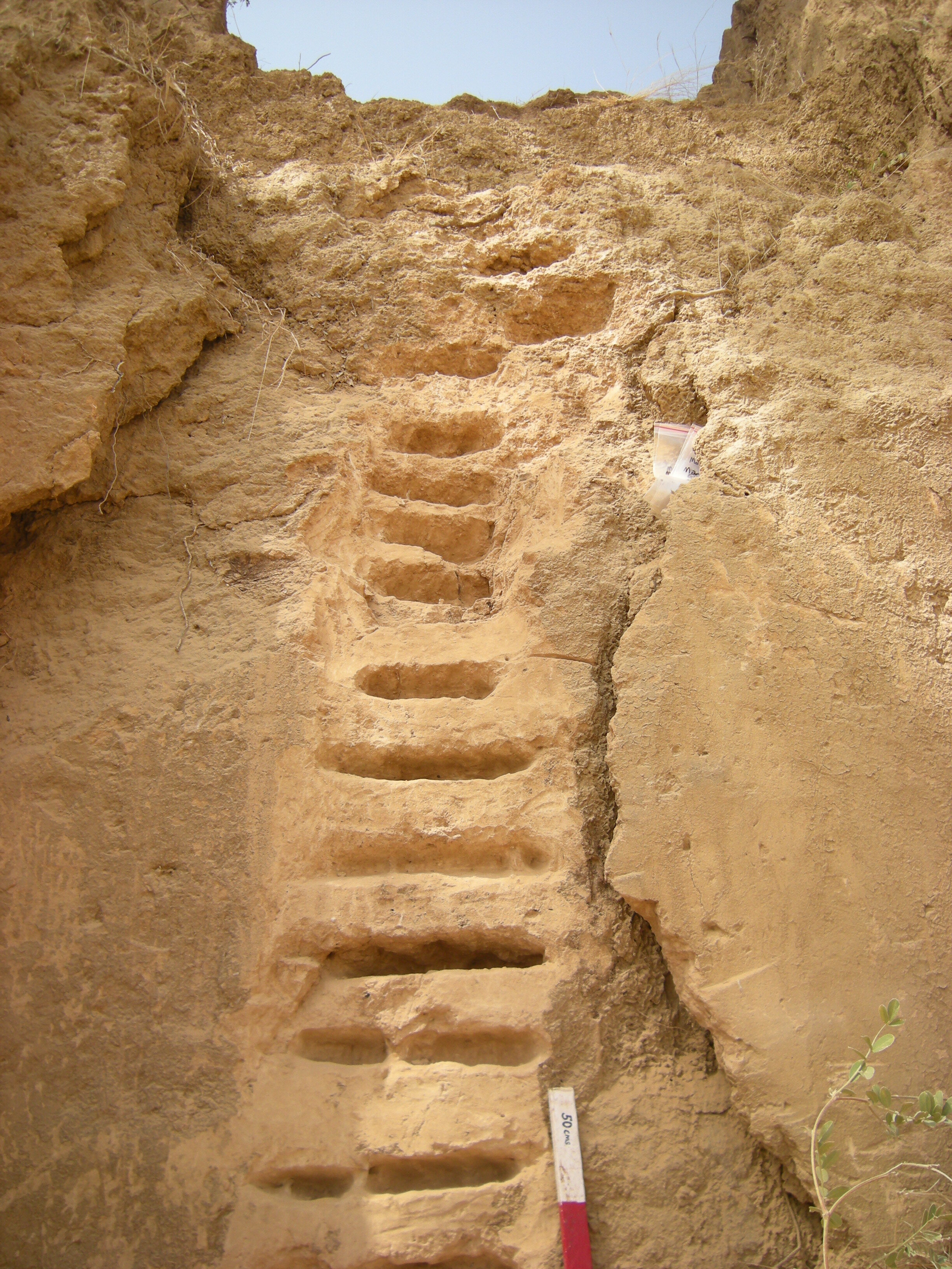
DO include a scale.

A field geologist’s toolkit can include scales of all shapes and sizes. If a scale is not available, a rock hammer, camera case, or even a person will do just fine! Just be sure to specify the dimensions of your scale in your figure caption.

Ancient eolian sands exposed in a roadcut in Tasmania. Amy Robertson, of the Forest Practices Authority, Tasmania, for scale. Photo credit: Tim Barrows.
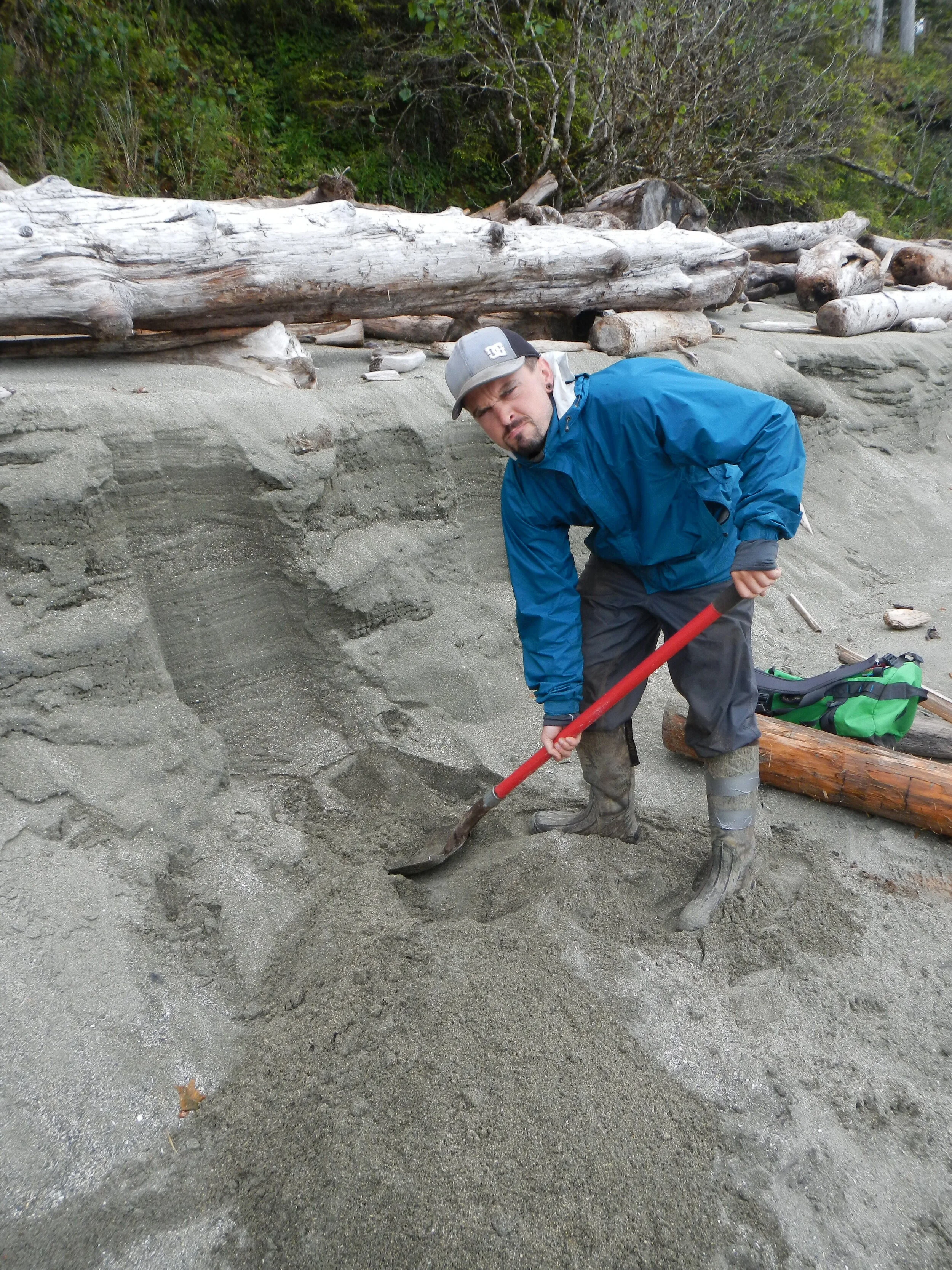
And last but not least, DO SMILE!!